CHRONIA
Visit CHRONIAAn atlas of the world’s borders from 3400 BC to today. Move through time and watch empires rise and fall. Click any state, people, or settlement on the map for details. Created by weaving public datasets together by our team of historical researchers.
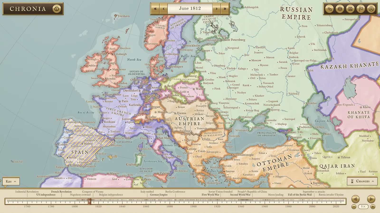
Europe in June 1812, at the height of Napoleon’s empire
Technical details
Before 1886 the borders come from Cliopatria, the Seshat project’s dataset of polities back to 3400 BC, with its gaps filled from dated snapshot maps. From 1886 they come from CShapes 2.0, dated to the day, and the main changes from 1800 to 1885 are dated to the day as well, from the Acts of Union to the fall of Mandalay. Every change made by hand, from Gibraltar’s outline to the occupations of the First World War, is recorded with its sources in a public ledger.
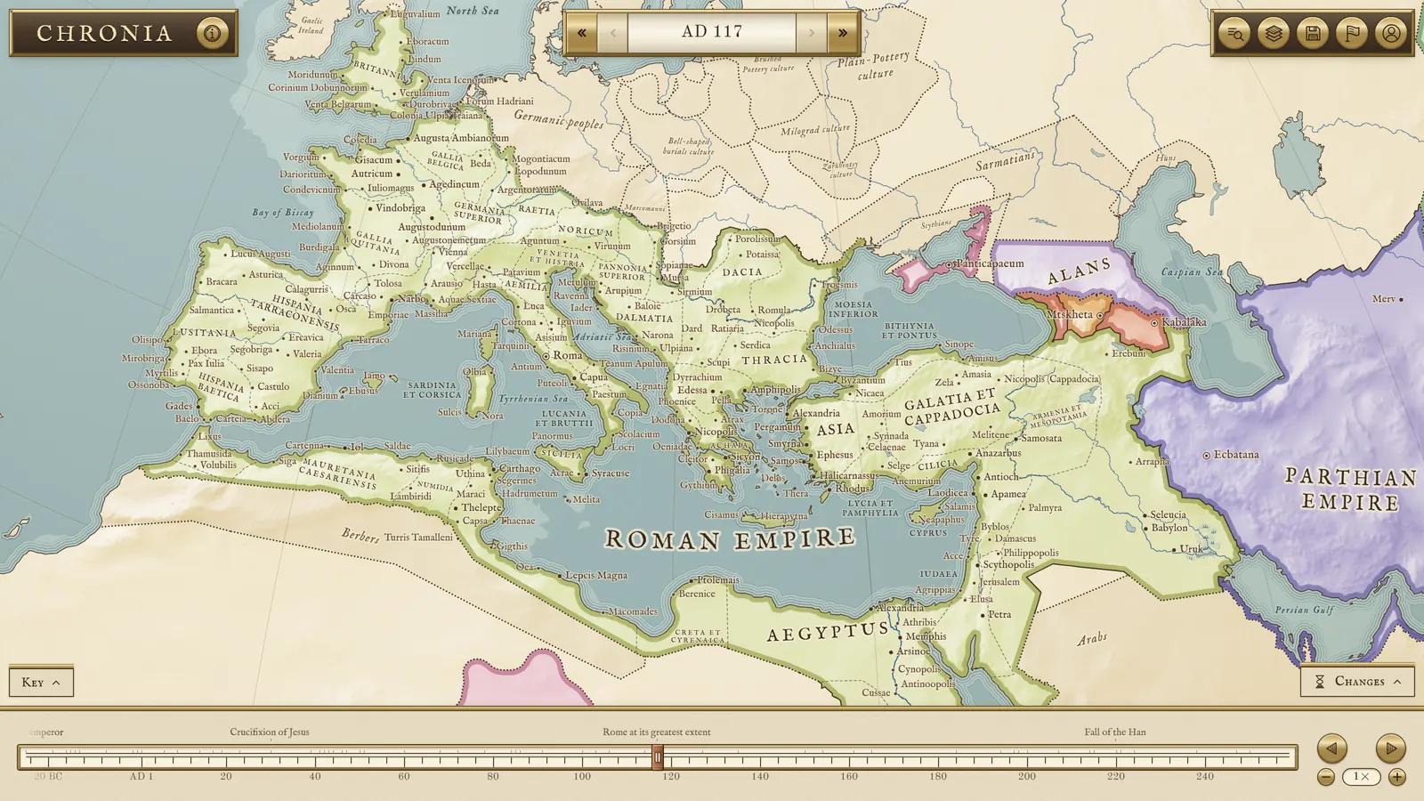
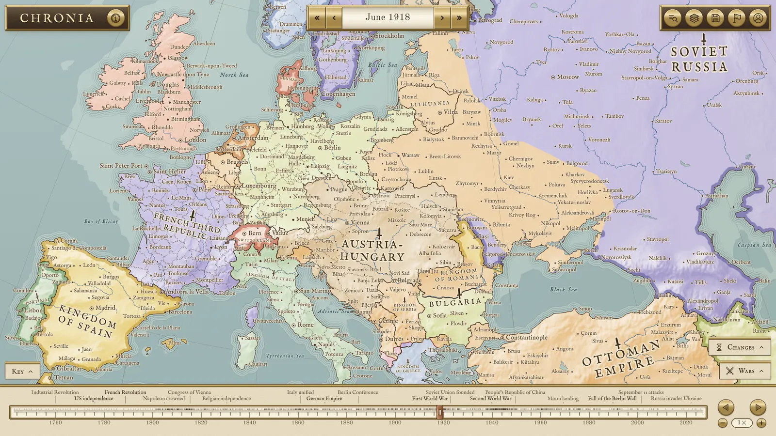
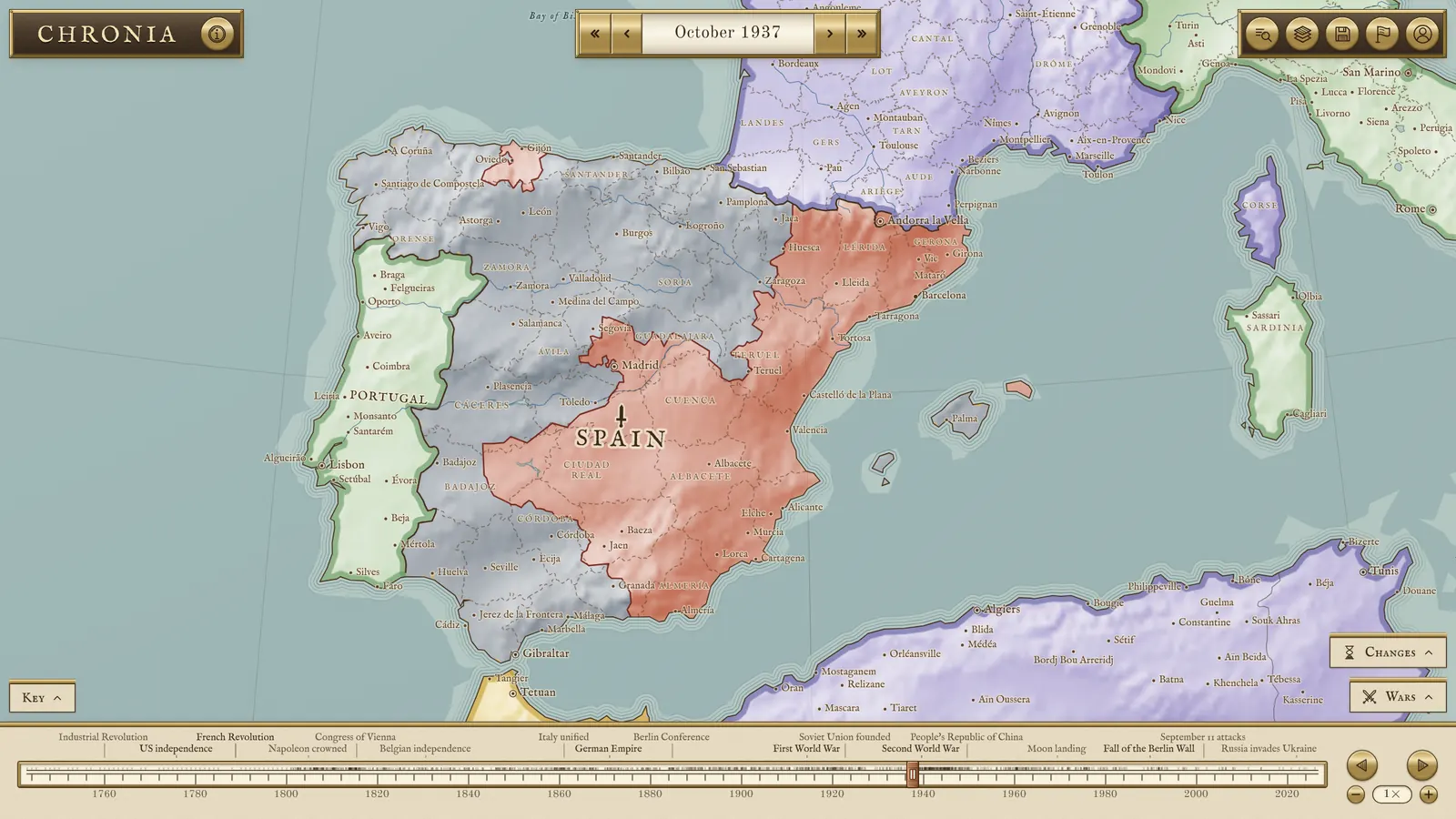
The map is drawn on a canvas in UCHRONIA’s Antique style, with relief, rivers, and about 5,000 cities that appear when they became prominent and take the names of their time. A card for any state, people, or city gives what the maps say about it on that date and a short note from a language model, kept and shared with everyone who opens the same card. The zones of control hatch the ground each side held in 23 wars, and where Mexico’s cartels were present.
- 3400 BC to today
- 4,123 states and peoples
- 5,000 cities
- Borders to the day
- Canvas
Inspiration
Historians and geographers have built remarkable datasets of the world’s borders, each covering its own stretch of time or part of the map. I wanted to bring them together into one project, and to build the atlas I had always wanted for myself: one place to watch five thousand years of history move across a map, and to stop on any day and see who held what.
Who it’s for
Teaching and learning
- Watching a war or a treaty redraw borders, month by month.
- Seeing who ruled a place, and what it was called, on a given date.
- Saving an image or a timelapse video of an era for a lesson.
History enthusiasts
- Following the fronts of the Spanish Civil War or the Second World War across the map.
- Comparing the world on any two days, five thousand years apart or one.
- Tracing a city through its names and its rulers.
Writers and researchers
- Checking the borders around a story’s setting on its exact date.
- Finding which empire held a colony or a province in a given year.
- Following a change on the map back to its sources in the ledger.
Worldbuilders
- Finding the real map of the year an alternate history departs from.
- Seeing how real borders shifted, to make a fictional world’s history believable.
- Borrowing the shape of real empires for a world that never was.