UCHRONIA
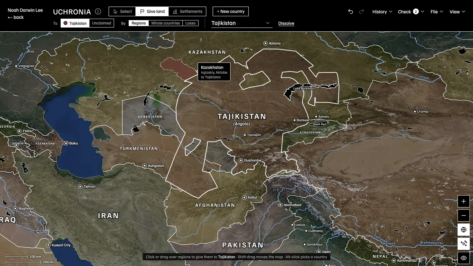
Visit UCHRONIARedraw the world map in any way you see fit. Draw new borders, establish nations, found cities, and more. Be sure to ask the Historian to write the history of the world you crafted. Or, work in reverse by prompting the Historian to generate a map for you.
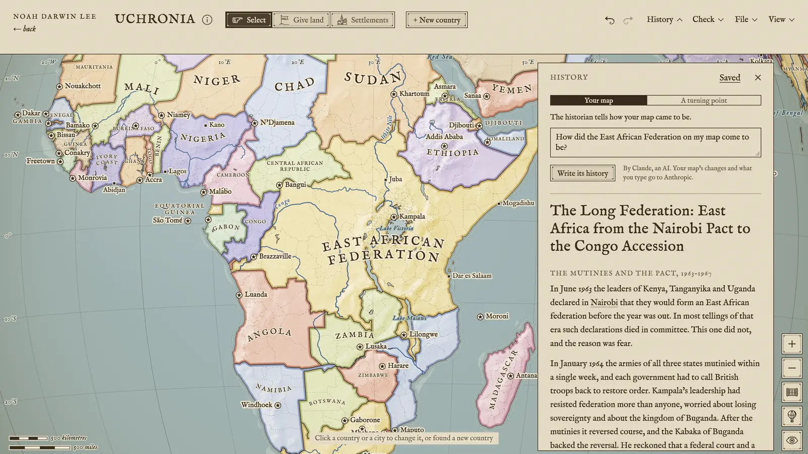
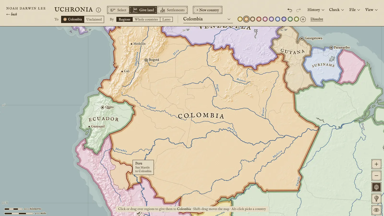
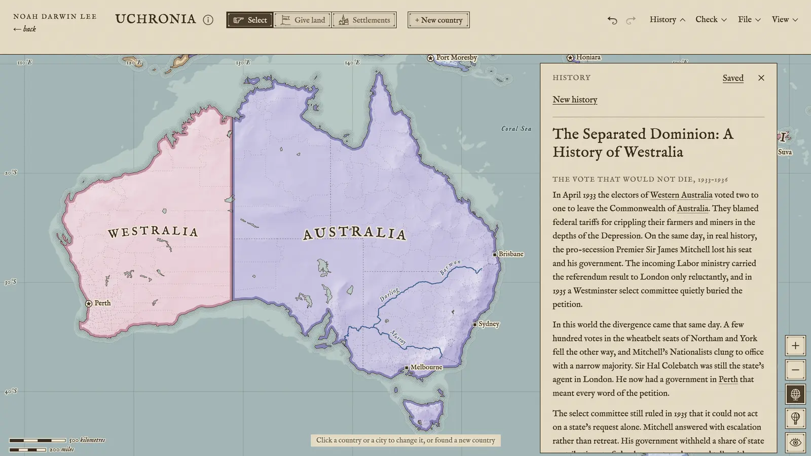
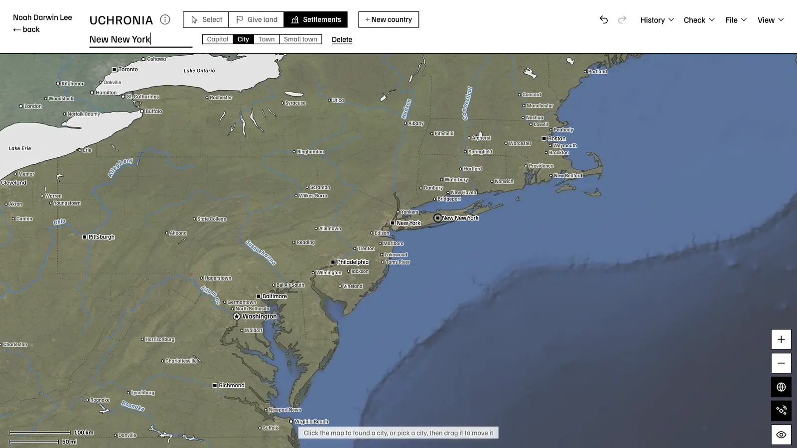
An East African Federation, and the historian telling how it came to be
Technical details
The globe and the flat map are drawn on a canvas from Natural Earth’s states and provinces, with geoBoundaries’ counties and districts for 40 large countries, so a border can follow a county line. Each country’s name is fitted to its shape and, in the Antique style, bent along it; rivers, lakes, 3,000 cities and 40,000 towns are placed so that nothing collides.
The historian is Claude, behind a small server function that holds the key. It reads a plain list of how your map differs from ours, and redraws by sending back edits in a fixed shape, regions changing hands, new countries, subjects, and capitals, which the page applies as one step that a single undo takes back. A shared map travels inside its own link, so nothing is stored on a server.
- 3,699 regions
- 18,000 counties
- 40,000 towns
- Canvas and WebGL
- Claude
Inspiration
I have been fond of atlases, world history, alternate history, and cartography for as long as I can remember. I built the tool I had always wanted for making my own maps and fictional worlds. I hope UCHRONIA encourages people to learn more about the world, both the real one and the imagined one.
Who it’s for
Writers and worldbuilders
- Drawing the map of an alternate-history novel or screenplay, then asking how it came to be.
- Testing a premise, such as a surviving Austria-Hungary, against its consequences on other continents.
- Keeping a world’s map and its history side by side, and sharing both as one link.
Teaching and learning
- Showing how one war or treaty redrew borders far beyond where it was fought.
- Comparing the world as it is with the world a different decision would have made.
- Learning where the world’s states, provinces, and capitals actually are, by moving them.
History enthusiasts
- Settling “what if” debates with a map instead of an argument.
- Drawing the borders of a past year, colonies and subjects included, and comparing them with today’s.
- Asking follow-up questions about a world, and getting the map changed when the history demands it.
Games and play
- Mapping the world of a tabletop campaign or a grand-strategy game run.
- Sketching the end state of a game of Diplomacy or Risk on the real world.
- Making a printable-looking antique map of a world that never was.